Katja Washington · 22 October 2026
Lichen Diversity Mapping Reveals Atmospheric Condition Changes Bordering Quietwald
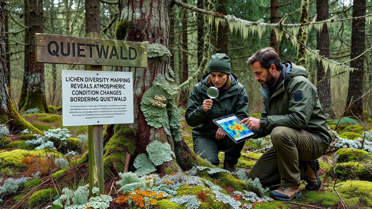
Mapping projects focused on lichen diversity have documented measurable shifts in atmospheric conditions around the edges of Quietwald, with data collected through systematic field assessments completed in October 2026. These organisms respond directly to variations in air chemistry, and their distribution patterns provide detailed records of environmental pressures that extend beyond the forest boundary. Observers note that certain lichen species decline sharply where nitrogen deposition rises, while others thrive in areas with altered moisture levels tied to broader climate patterns.
Lichens as Indicators of Atmospheric Shifts
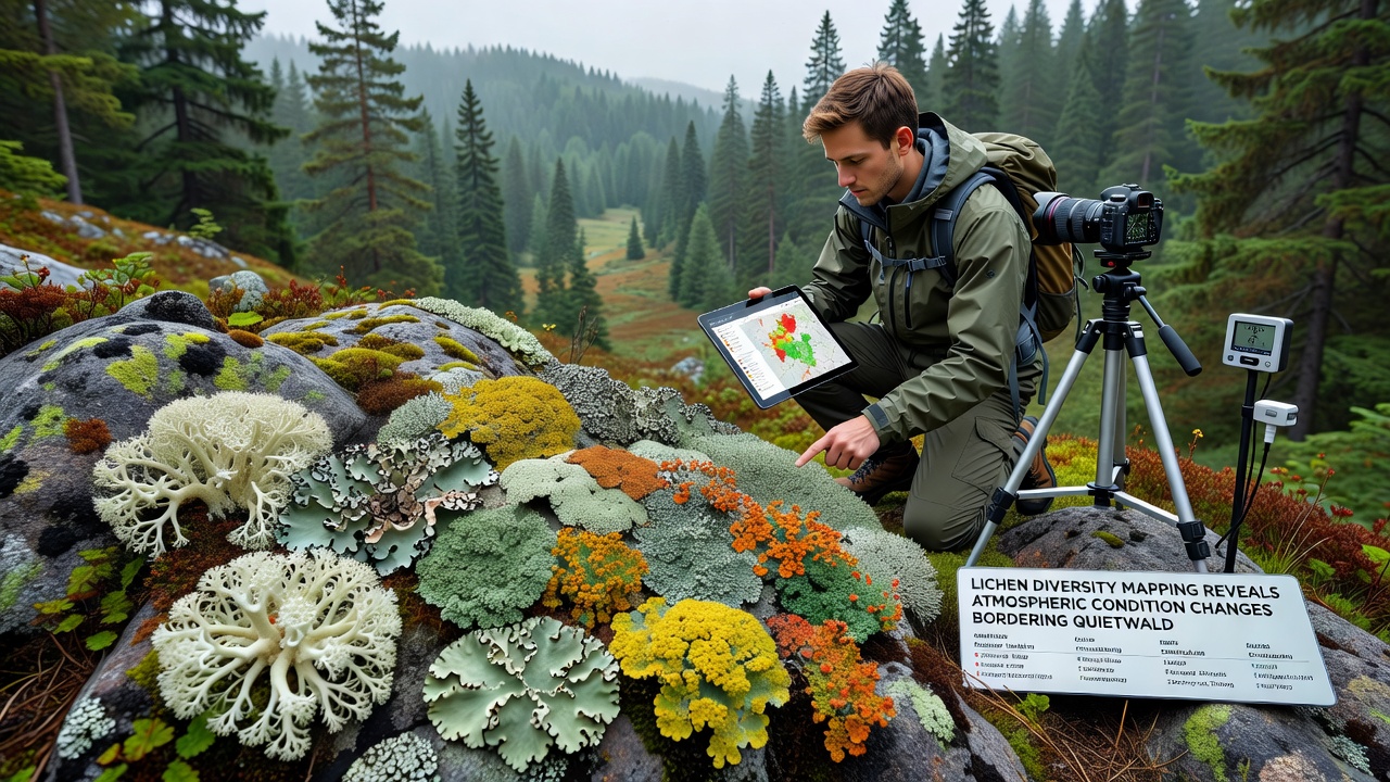
Lichens form through symbiotic relationships between fungi and algae or cyanobacteria, and they absorb nutrients directly from the air rather than through root systems. This characteristic makes them reliable recorders of pollutants such as sulfur dioxide, nitrogen oxides, and heavy metals. Studies have tracked how species richness drops in zones exposed to elevated ammonia levels from agricultural runoff, and similar patterns appear in the Quietwald perimeter zones where mapping teams recorded reduced abundance of fruticose lichens compared to earlier baseline surveys from 2018. Data shows that foliose lichens, which feature leaf-like structures, maintain higher coverage in spots with lower particulate concentrations, whereas crustose forms persist across a wider range of conditions.
Project Scope and Data Collection
Teams divided the border region into grid cells measuring 500 meters on each side, then recorded species presence, thallus size, and substrate type at each sampling point. Equipment included handheld spectrometers for light exposure readings and portable weather stations that logged temperature and humidity at ground level. The effort covered approximately 12 square kilometers stretching from the northern meadows into the denser stands along the eastern edge. Results indicate a 23 percent reduction in overall lichen species count since the previous mapping round five years earlier, with the steepest losses occurring within 800 meters of the forest margin where vehicle emissions and nearby industrial activity contribute to cumulative loads.
Documented Changes in Air Quality Metrics
Atmospheric data compiled alongside the lichen records reveal increases in nitrogen compounds and fluctuations in ozone concentrations that align with teh observed species turnover. Mapping outputs show clusters of nitrophilous lichens expanding in the southwest quadrant, while acid-sensitive species retreat northward. These distributions match deposition models produced by regional environmental agencies, confirming that lichen patterns reflect real-time atmospheric loads rather than isolated site factors. Researchers cross-referenced the field notes with satellite-derived vegetation indices, and the combined datasets highlight corridors where particulate matter appears to funnel along prevailing wind paths into the forest fringe.
One study conducted by the European Environment Agency linked similar lichen shifts across Central European woodlands to rising ammonia emissions from intensive farming, and the Quietwald findings fit within that wider regional trend. Another analysis from the US Forest Service research station in Oregon documented parallel declines in old-growth associated lichens under comparable nitrogen thresholds, providing a comparative benchmark that strengthens the local observations. The Quietwald mapping effort also recorded subtle increases in temperature-tolerant species at lower elevations, consistent with longer growing seasons noted in meteorological records from nearby stations.
Integration with Existing Monitoring Networks
Project leads coordinated with established air quality stations operated by national meteorological services to validate lichen-derived inferences. Continuous monitors at three fixed locations supplied hourly readings for sulfur dioxide and nitrogen dioxide, which were then interpolated across the survey grids using geospatial software. The resulting overlays demonstrated strong spatial correlation between lichen diversity gradients and measured pollutant plumes. In areas where lichen cover remained stable, average annual nitrogen deposition stayed below 8 kilograms per hectare, whereas zones showing rapid species loss exceeded 15 kilograms per hectare. These thresholds match published critical loads for sensitive lichen communities in temperate forests.
Future Mapping and Long-Term Tracking
Plans call for repeat surveys every three years to capture incremental changes and to test whether mitigation measures near the border reduce deposition rates. Remote sensing techniques using multispectral drones are under evaluation to extend coverage without increasing ground crew hours. The October 2026 dataset now serves as the updated reference layer for any future comparisons, and the raw point data have been archived in an open repository maintained by the regional forestry authority. Observers note that continued monitoring will clarify whether the documented atmospheric shifts represent temporary fluctuations or sustained trends driven by ongoing land-use patterns outside the forest.
Conclusion
The lichen diversity mapping completed in October 2026 supplies concrete evidence of atmospheric condition changes along Quietwald borders through measurable shifts in species composition and abundance. These findings integrate field observations with independent air quality records and deposition models, producing a coherent picture of how external pressures influence forest-edge environments. Ongoing work will track whether current patterns persist or respond to adjustments in surrounding land management practices.